Environmental monitoring of Lake Baikal
Observations of the state of water protection zones
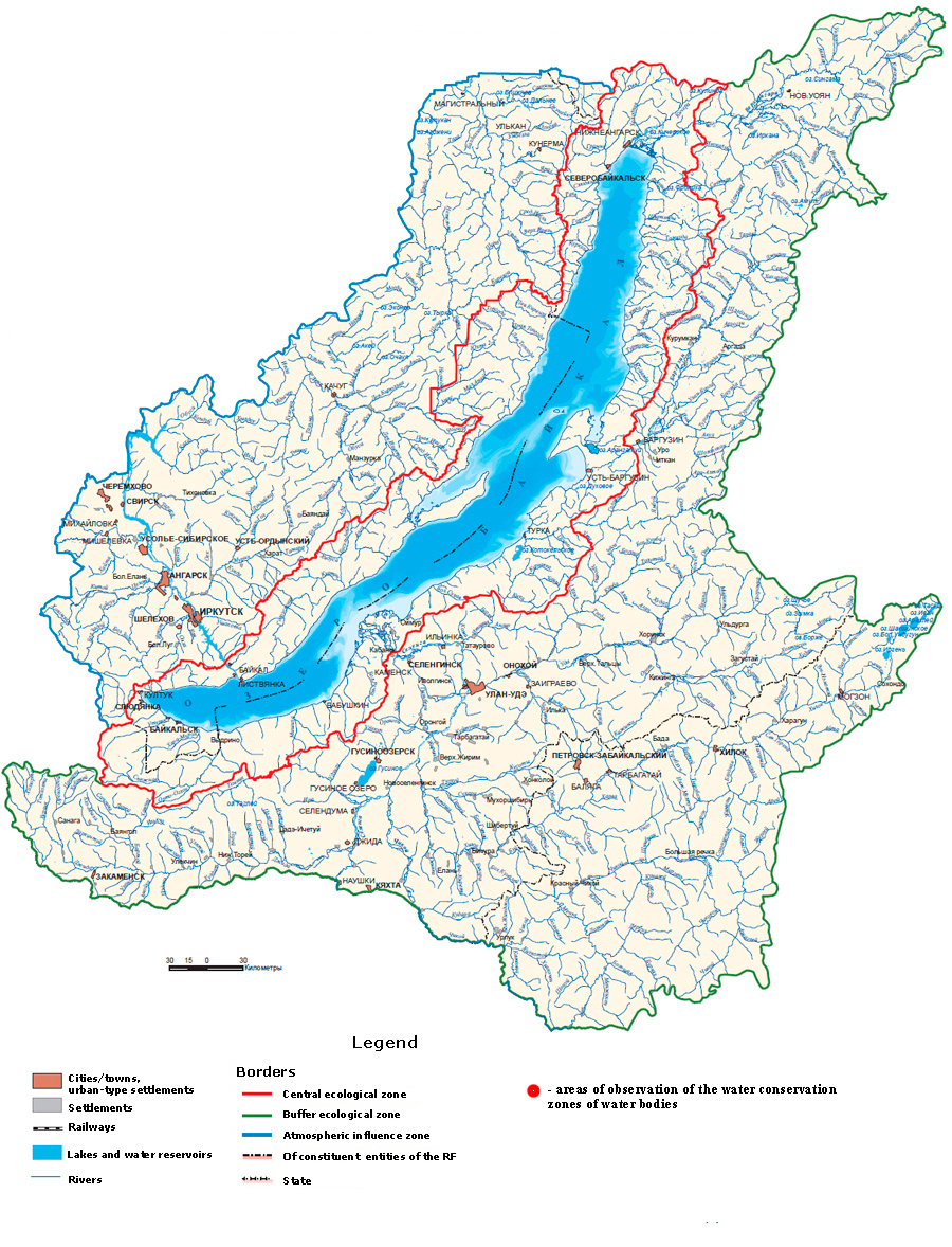
The map shows the sites of observation of water protection zones of water bodies.
When you hover the cursor over the observation site, a window appears, which shows the percentage of the area of water protection zones in 2019 for the main types of ecosystems:
tinned areas, areas under shrub vegetation, as well as under trees and trees and shrubs.
Information sources:
1. Information bulletin on the state of water bodies, bottom, shores of water bodies, their morphometric features, water protection zones of water bodies,
quantitative and qualitative indicators of the state of water resources, the state of water management systems, including hydraulic structures,
in the Angara-Baikal Basin District, related to the zone of activity of the TOVR in the Irkutsk region of the Yenisei STB for 2019
2. Information bulletin on the state of water bodies, bottom, shores of water bodies, their morphometric features, water protection zones of water bodies,
quantitative and qualitative indicators of the state of water resources, the state of water management systems, including hydraulic structures,
for the Angara-Baikal Basin District, related to the zone of TOVR activity in the Republic of Buryatia, the Yenisei BWU for 2019
 Monitoring
  State environmental monitoring
  Monitoring of water bodies
  The condition and mode of operation of water protection zones of water bodies
  Monitoring of the condition of water protection zones
  2019 data